


BREAKING: Pentagon Cuts Off Critical Satellite Feed, Jeopardizing Hurricane Forecasting and Climate Research
Trump's war on climate science continues.

In a move that has stunned forecasters and climate scientists alike, the U.S. Department of Defense will permanently halt delivery of real-time satellite microwave data from its Special Sensor Microwave Imager/Sounder (SSMIS) instruments on June 30, 2025. The decision, which comes without a clear civilian replacement in place, threatens to degrade the accuracy of hurricane forecasts and impair the quality of global climate monitoring.
For decades, SSMIS has been a backbone of earth observation, providing microwave imagery essential for peering through clouds to assess the internal structure of tropical cyclones. Unlike visible or infrared satellite data, which offer only surface-level snapshots, microwave data can reveal rain bands, circulation centers, and the warm cores of intensifying storms, which is critical information for estimating strength and forecasting future development.
Forecasters say the loss of this data source will lead to real consequences. Without the ability to monitor storms overnight or during rapid intensification phases, meteorologists face a higher risk of being blindsided by abrupt changes in storm strength. The problem is particularly acute in the early stages of development, when accurate detection of a cyclone’s center can make or break a forecast. Losing access to microwave data introduces greater uncertainty into the models and increases the chances of misjudging a storm’s path or timing.
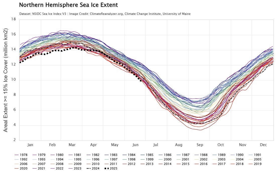
The impacts ripple beyond hurricanes. Climate researchers rely on consistent, high-quality microwave data to monitor Arctic and Antarctic sea ice, track changes in ocean salinity and temperature, and study long-term weather patterns. Climate Reanalyzer, NSIDC, and many other global data platforms depend on this feed for daily updates. The loss will cause data gaps and reduce the reliability of historical comparisons just as global climate signals are accelerating.
While a new satellite, the Weather System Follow-on Microwave (WSF-M), was launched in 2024, its data is not currently being shared with NOAA or other civilian agencies. In the meantime, NASA’s AMSR2 instrument aboard Japan’s GCOM-W satellite is being tested as a partial substitute, but it is still in prototype use and not fully calibrated to match previous datasets. That means even if coverage resumes in some form, the resolution and continuity of climate records may be affected.
This decision, made with little warning and even less public explanation, underscores the growing disconnect between national defense priorities and civilian science needs. It also raises a critical question: why, in the face of mounting climate and disaster risks, is the government pulling back from the very data that makes early warning and long-range forecasting possible?
With hurricane season entering its most dangerous months, the timing of this move could not be worse. Emergency managers, meteorologists, and climate scientists are calling for immediate action—either to reinstate the data stream or ensure full civilian access to WSF-M. Until then, the United States will face storms with a little less clarity and a lot more uncertainty.
I’m proud to be part of the Iowa Writers Collaborative—an inspiring group of storytellers, journalists, and truth-tellers working to inform, challenge, and connect Iowans on the issues that matter most.

The lack of foresight and insight that goes into this Administration's decisions never cease to amaze me.